
Click here to view Kendal Campus Map
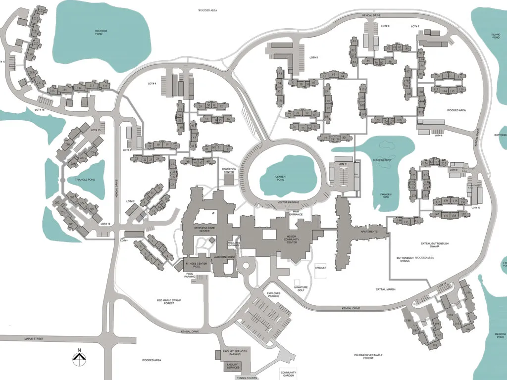
Click here to link to view the web page with map for the Kendal Tree Walk,
Click here to download a pdf copy of the Kendal Tree Walk with clickable links to more information.
The Commemorative Trees page was revised in March, 2025. It is based on the 2023 spring aerial image provided courtesy of the Lorain County Auditor. For ease in viewing the map was divided into a western section (top) and eastern section (bottom). The GIS map was created using QGIS 3.34 Prizern.
Click here to view the digital map of the collection created by ArborScopeTM Note, the aerial view of the campus on this map is around 8 years old and thus does not show campus features that have been changed since then.
An ArborScopeTM instructional video is here.
Click here to view Farmers Pond - Renovation or Farmers Pond Map
An Oaks at Kendal is under construction.